Base Maps
Users have the ability to select different base maps each with a unique style for their map. To switch between the bases map select the MAP icon in the lower left corner, then simply click on the icon to toggle between styles. There are four base maps available:
VuMap provides the ability to turn off either the Street Line or Labels associated with each type of base map using the checkboxes in the base map menu. Note that the Satellite road style provides thinner less noticeable roads allowing the user to better view the underlying imagery.
High Resolution Imagery Layers
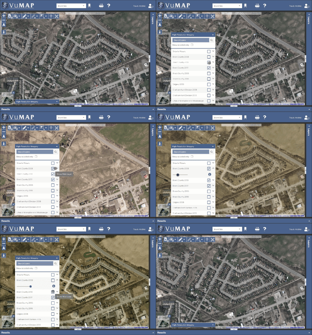
VuMap allows users to view imagery from First Base Solutions imagery library with datasets dating back over 20 years. The High Resolution Imagery layers can be accessed by To view and control the “High Resolution Imagery” menu found in the lower left of the map. The search dialog found within the menu allows uses to find layers by name and associated municipality and the “Show selected only” option will filter the layers showing only the layers that are currently active. Double clicking on the layer will adjust the map extent to fit the selected layer within the map and user have the ability to retrieve a description of the layer and adjust the transparency.
VuMap includes an imagery layer called “Ontario Mosaic” which is compromised of the most recent captured imagery, by default this layer is active when first logging into VuMap
Basemaps & Labels
Users can select which base maps they would like to view and control the visibility of the road labels by clicking on the map icon  in the lower left of the vumap interface. User can select from four different base map modes: Satellite, Dark, Terrain and Streets. Roads and labels are controlled using the “Streets and Labels” checkbox.
Note High Resolution Imagery is controlled using the Layers and will be placed over the base map if available
Street View
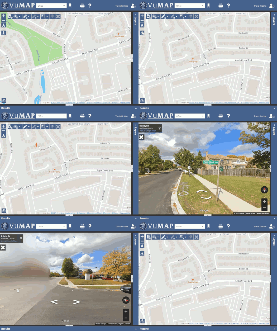
Streets view allows users to get a ground level photo view of their area of interest. To use street view click on the peg man icon ![]() to activate streets mode then click and drag the peg man to the area of interest. The street view viewer will start if photos are available for your area.
to activate streets mode then click and drag the peg man to the area of interest. The street view viewer will start if photos are available for your area.


